
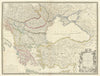

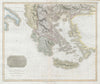


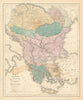


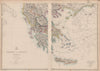

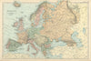


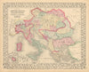

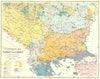

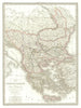

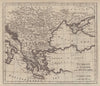


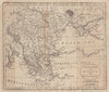


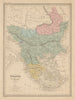


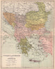

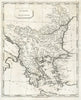




These antique maps follow the Ottoman Balkans, or Turkey in Europe, from the seventeenth century to the early twentieth, as the empire's European lands were steadily divided among new states. Moll, Mallet, Wyld, Johnston and other publishers show the territories beside Greece, Hungary and the neighbouring empires, using names such as Rumelia, Wallachia, Servia and Moldavia, and ethnographical maps add the geography of languages and peoples. The Aegean islands and the Bosphorus carry the coverage out to sea, and Tallis's decorated sheet includes a view of Constantinople.
EU orders up to €150 are sent VAT- and duty-paid — no additional taxes on arrival
Authenticity Guaranteed - We only sell original antique & vintage items
Can we help? Call us on +44-208-960-3476 • FAQs
All our products are exempt from US tariffs — no additional duties or taxes payable on arrival.


- Shop by Country
- Shop by Cartographer
- Shop Maps by Type
- Shop Prints by Subject