
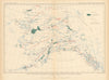

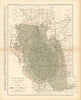

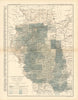

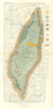

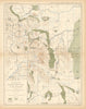

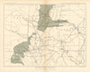

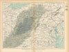

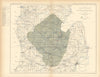

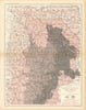

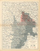

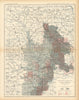

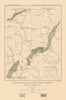

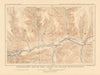

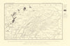

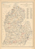




Oilfields, coal basins and even the surface of Mars are mapped by the United States Geological Survey, the federal agency founded in 1879. The main body here is early twentieth-century coal, oil and geological sheets covering Pennsylvania's Gaines oil region, Oregon's Coos Bay coalfield, Appalachian structures and western coal-bearing formations, relating local extraction districts to wider geological systems. Other maps examine cement materials, industrial markets and the distribution of resources across states, and a later Mars photomosaic associated with NASA and the Survey carries the collection into planetary mapping.
EU orders up to €150 are sent VAT- and duty-paid — no additional taxes on arrival
Authenticity Guaranteed - We only sell original antique & vintage items
Can we help? Call us on +44-208-960-3476 • FAQs
All our products are exempt from US tariffs — no additional duties or taxes payable on arrival.


- Shop by Country
- Shop by Cartographer
- Shop Maps by Type
- Shop Prints by Subject