





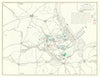


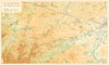


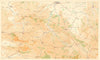


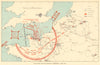


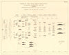

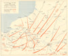

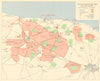


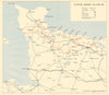

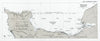

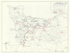

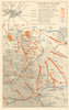

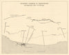


The Normandy invasion was planned, fought and recorded through maps. This collection covers Operation Overlord and its naval phase, Operation Neptune, from pre-invasion intelligence to D-Day on 6 June 1944 and the subsequent campaign. It includes German beach defences, coastal batteries and troop dispositions; plans of Utah, Omaha, Gold, Juno and Sword; convoy routes, bombardment, airborne landings and Mulberry harbours. Three BIGOT–Top Secret Utah Beach naval overlays, retained by Lieutenant Carl M. Good Jr, commander of USS SC-1301, chart gunfire support, minesweeping and the fleet’s inner screen, with accompanying intelligence and assembly papers. Wartime operational maps and coastal reconnaissance charts sit alongside contemporary illustrated accounts and later historical maps tracing the fighting through Caen, Cherbourg, Saint-Lô, Falaise and the breakout towards the Seine.
EU orders up to €150 are sent VAT- and duty-paid — no additional taxes on arrival
Authenticity Guaranteed - We only sell original antique & vintage items
Can we help? Call us on +44-208-960-3476 • FAQs
All our products are exempt from US tariffs — no additional duties or taxes payable on arrival.


- Shop by Country
- Shop by Cartographer
- Shop Maps by Type
- Shop Prints by Subject