
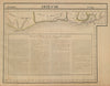


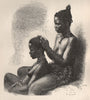


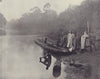

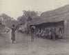











Grand-Bassam, Assinie and the coastal rivers are where the mapping of Ivory Coast begins. Bellin and Schley follow the Guinea coast, while Vandermaelen’s sectional atlas and later regional sheets set Côte d’Ivoire beside Liberia, Ghana and the French West African territories, with local plans of Grand-Bassam, Bingerville and Abidjan and economic maps of agriculture, trade and resources. The prints include pirogues on the Tanoé, weaving, forest produce and scenes at Grand-Bassam, while Stoddard’s illustrations travel inland to Agui on the Comoé and the mosque at Bondoukou, and accounts of the Binger mission record its exploration.
EU orders up to €150 are sent VAT- and duty-paid — no additional taxes on arrival
Authenticity Guaranteed - We only sell original antique & vintage items
Can we help? Call us on +44-208-960-3476 • FAQs
All our products are exempt from US tariffs — no additional duties or taxes payable on arrival.


- Shop by Country
- Shop by Cartographer
- Shop Maps by Type
- Shop Prints by Subject