


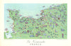


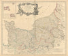


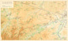


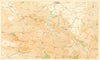


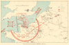


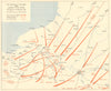



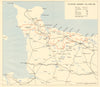
From Hondius's provincial maps to the assault beaches of 1944, these maps follow the Normandy coast through centuries of history. Maps by Vaugondy, Bonne and Zatta, railway guides, coastal charts and pictorial sheets lead on to the D-Day material: the Seine Bay approaches, the beaches, bombardment positions and the fighting around Caen, Cherbourg and Falaise, with naval plans of landing forces, coastal batteries and the Mulberry harbours, and campaign maps following the advance. The prints show the cathedrals of Rouen, Bayeux and Coutances, the abbeys of Caen, Mont-Saint-Michel and Château Gaillard, with harbour views, cider making, harvest customs and farmhouse interiors.
EU orders up to €150 are sent VAT- and duty-paid — no additional taxes on arrival
Authenticity Guaranteed - We only sell original antique & vintage items
Can we help? Call us on +44-208-960-3476 • FAQs
All our products are exempt from US tariffs — no additional duties or taxes payable on arrival.


- Shop by Country
- Shop by Cartographer
- Shop Maps by Type
- Shop Prints by Subject