Hide out of stock items

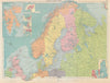

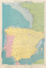

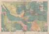

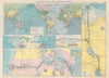

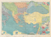

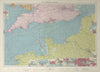

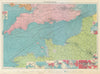

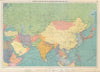

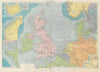

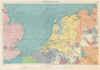

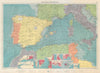

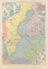

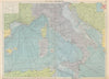

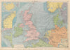

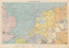

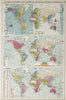

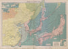

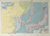

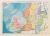

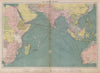

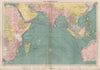

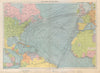

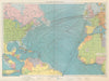

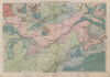

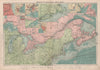

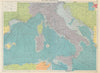

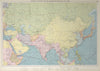

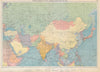

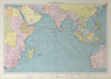

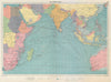

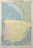

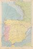

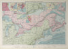

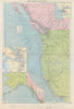

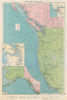

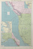
Philips’ Mercantile Marine Atlas, edited and published by George Philip & Son, Ltd., was first issued in 1904 as a practical world reference atlas for merchant shipping and maritime trade. It features large, detailed folio charts of oceans, seas, shipping routes and port plans, national and shipping company flags. The atlas was regularly revised to reflect developments in global trade routes, navigation, and telegraphy through to its final edition in 1959, evolving over five decades into a key navigational and commercial reference for maritime professionals.