
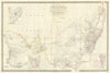


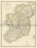


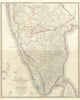


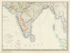


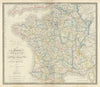


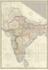


James Wyld, geographer to Queen Victoria and Prince Albert, issued his large folio New General Atlas from his Charing Cross address, and the maps here date from the early 1840s. They cover Europe, Asia, Africa, the Americas and Australasia, from the German Confederation and the Russian dominions to China, India and the Australian colonies. Mediterranean mapping after John Dessiou supplies nautical information, and a map of ancient and modern Syria sets historical geography beside the political divisions of the day. Comparative plates rank the principal rivers and mountains by length and height, and a table explains itinerary measures.
EU orders up to €150 are sent VAT- and duty-paid — no additional taxes on arrival
Authenticity Guaranteed - We only sell original antique & vintage items
Can we help? Call us on +44-208-960-3476 • FAQs
All our products are exempt from US tariffs — no additional duties or taxes payable on arrival.


- Shop by Country
- Shop by Cartographer
- Shop Maps by Type
- Shop Prints by Subject