
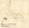


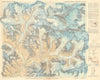


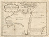


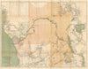


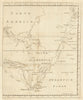


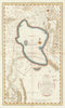


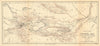


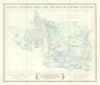



Trace the expansion of the mapped world through original antique maps and charts of exploration and discovery. This collection follows voyages by Columbus, Magellan, Cook, Bougainville and HMS Beagle; Arctic and Antarctic expeditions by Ross, Franklin, Peary, Shackleton and Mawson; and overland journeys by Livingstone, Stanley, Burton, Wellsted, Przhevalsky, Sven Hedin and John Forrest. It includes maps of the search for the source of the Nile and the Northwest Passage, together with exploration of Central Africa, Arabia, Tibet, Australia, the Pacific and the polar regions. Maps and charts by Münster, Bellin, Faden, Zatta, Bonne, the Royal Geographical Society and The Nautical Magazine document genuine voyages, routes, surveys and changing geographical knowledge from the sixteenth to the twentieth century.
EU orders up to €150 are sent VAT- and duty-paid — no additional taxes on arrival
Authenticity Guaranteed - We only sell original antique & vintage items
Can we help? Call us on +44-208-960-3476 • FAQs
All our products are exempt from US tariffs — no additional duties or taxes payable on arrival.


- Shop by Country
- Shop by Cartographer
- Shop Maps by Type
- Shop Prints by Subject