


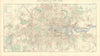

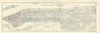

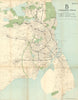

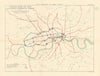

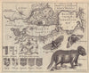

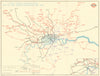

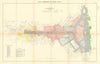

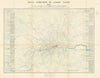

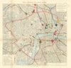

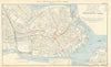


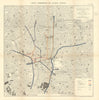

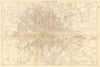

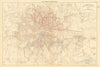

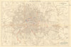

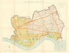


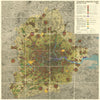


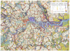




This collection of town-planning, urban-development and reconstruction maps traces how cities were surveyed, expanded and rebuilt from the Great Fire of London to the post-war era. It brings together John Leake’s record of London after 1666, Wren’s rebuilding vision, Victorian street and transport schemes, the Royal Commission on London Traffic, and influential plans by Patrick Abercrombie and J. H. Forshaw. Greater London, the City and County of London, Edinburgh, Dublin, Manchester, Bristol, Bath, Oxfordshire and Willesden appear through master plans, zoning, housing, green-belt, land-use, road, railway and redevelopment maps. International material includes L’Enfant’s Washington, Haussmann’s Paris, Berlin’s enlargement, Copenhagen transport planning and Tokyo’s reconstruction after the Great Kantō earthquake. Together these maps reveal the ambitions, systems and compromises that shaped modern urban life.
EU orders up to €150 are sent VAT- and duty-paid — no additional taxes on arrival
Authenticity Guaranteed - We only sell original antique & vintage items
Can we help? Call us on +44-208-960-3476 • FAQs
All our products are exempt from US tariffs — no additional duties or taxes payable on arrival.


- Shop by Country
- Shop by Cartographer
- Shop Maps by Type
- Shop Prints by Subject