


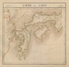




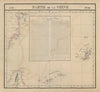


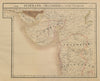

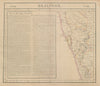


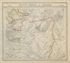

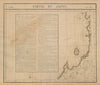

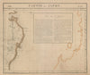

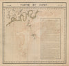

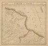


Vandermaelen's Atlas Universel was an unusual project: a lithographed world, published in Brussels in 1827 and divided into adjoining sheets on a single common scale. These maps come from its Asian portion, with an index map linking the numbered sections. China, Japan, India, Tibet and Southeast Asia are covered in depth, alongside Siberia, Central Asia, Persia and the approaches to Arabia, and the Russian sheets reach towards the Bering Strait and Alaska. Because the sheets follow the atlas grid rather than countries, many cross modern borders, and all record the names and geographical knowledge of the early nineteenth century.
EU orders up to €150 are sent VAT- and duty-paid — no additional taxes on arrival
Authenticity Guaranteed - We only sell original antique & vintage items
Can we help? Call us on +44-208-960-3476 • FAQs
All our products are exempt from US tariffs — no additional duties or taxes payable on arrival.


- Shop by Country
- Shop by Cartographer
- Shop Maps by Type
- Shop Prints by Subject