


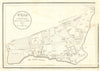

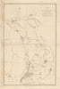

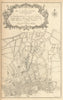


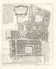

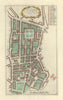

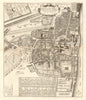

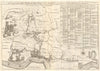

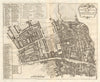

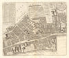

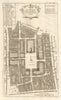

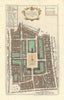

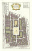

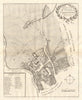


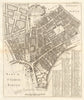


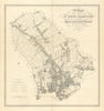
Our collection of London parish maps offers a detailed and richly historic view of the capital’s local geographies from the 17th to 19th centuries. These maps and accompanying histories trace the development of areas such as Chelsea, Islington, Fulham, Hammersmith, Lambeth, Kensington, and Tottenham, often down to individual estates, roads, and boundaries. They are drawn from works including Faulkner’s illustrated histories of Chelsea and Hammersmith, Stow’s Survey of London, and parish accounts of Clerkenwell, Highgate, and Marylebone. Cartographers like Rocque, Cole, Stanford, and G.W. Bacon are represented alongside rare imprints from local historians and publishers. These parish maps combine topography with social and architectural insight, making them invaluable records of London’s transformation from a collection of villages and manors into today's vast conurbation.
EU orders up to €150 are sent VAT- and duty-paid — no additional taxes on arrival
Authenticity Guaranteed - We only sell original antique & vintage items
Can we help? Call us on +44-208-960-3476 • FAQs
All our products are exempt from US tariffs — no additional duties or taxes payable on arrival.
- Shop by Country
- Shop by Cartographer
- Shop Maps by Type
- Shop Prints by Subject