


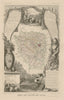

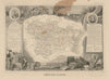


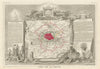


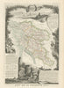


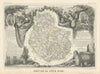

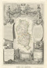


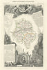

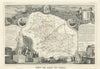

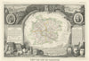

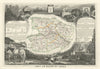
Our extensive collection of French departmental maps is both comprehensive and visually rich, with standout representation from 19th-century atlases and leading cartographers. The core of the collection centres on Vuillemin and Levasseur, both known for their elegant, detailed engravings combining geography with economic, historical, and decorative elements. Major atlases include Nouvel Atlas Illustré La France et ses colonies, Atlas Nationale Illustré, La France et ses Colonies Atlas Illustré, and Grand Atlas Départmental, all of which provide full departmental coverage. Other key contributors include Perrot, Tardieu, and Dufour, as well as Malte-Brun and Le Vasseur.
EU orders up to €150 are sent VAT- and duty-paid — no additional taxes on arrival
Authenticity Guaranteed - We only sell original antique & vintage items
Can we help? Call us on +44-208-960-3476 • FAQs
All our products are exempt from US tariffs — no additional duties or taxes payable on arrival.
- Shop by Country
- Shop by Cartographer
- Shop Maps by Type
- Shop Prints by Subject