
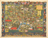

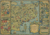

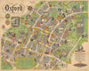

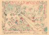

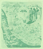

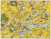

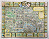

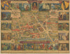

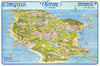

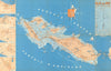

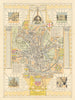

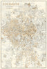


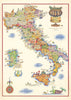

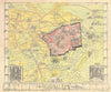


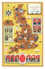


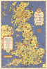

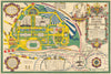

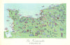

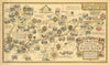

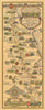

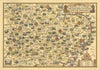


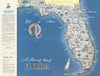


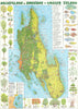

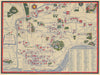

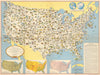


Pictorial maps — also known as bird’s-eye views, panoramic, or illustrated maps — blend geography with art, offering an oblique, often whimsical view of places. Rather than focusing on scale or accuracy, they highlight landmarks, culture, history, and local flavour, ranging from playful caricatures to intricately rendered cityscapes. The tradition dates back to medieval and Renaissance maps, where symbolism often trumped realism. By the 19th century, as railways expanded and urban centres grew, pictorial mapping flourished, especially in the U.S., where thousands of panoramic city views were published. In the 20th century, pictorial maps saw a revival through tourism and advertising. From Jo Mora’s western maps to Art Deco posters and commercial pieces by airlines, banks, and local authorities, the style became a powerful promotional tool. Artists like Ruth Taylor White, Alfred E. Taylor, and Hermann Bollmann (all represented in our stock) created distinctive, visually rich works that have become very collectible. Our diverse collection — including maps by Nicouline, Liozu, Kerry Lee, and Bollmann — reflects the breadth of the genre: from charming town plans and travel ephemera to Cold War propaganda and modern artist maps.
EU orders up to €150 are sent VAT- and duty-paid — no additional taxes on arrival
Authenticity Guaranteed - We only sell original antique & vintage items
Can we help? Call us on +44-208-960-3476 • FAQs
All our products are exempt from US tariffs — no additional duties or taxes payable on arrival.
- Shop by Country
- Shop by Cartographer
- Shop Maps by Type
- Shop Prints by Subject