
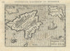

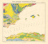






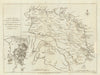

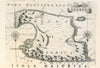


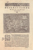


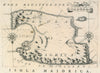
Antique maps and prints of the Balearic Islands, also known as Islas Baleares and Illes Balears, including Majorca, Menorca, Ibiza and Formentera. The collection includes early island maps by Porcacchi, Bertius and Coronelli, eighteenth-century maps by Bonne and Zatta, harbour plans and Admiralty charts. Views of Palma and Ibiza, maps of Mahon and Fort St Philip, and geological and tourist maps show the islands in greater detail.
EU orders up to €150 are sent VAT- and duty-paid — no additional taxes on arrival
Authenticity Guaranteed - We only sell original antique & vintage items
Can we help? Call us on +44-208-960-3476 • FAQs
All our products are exempt from US tariffs — no additional duties or taxes payable on arrival.


- Shop by Country
- Shop by Cartographer
- Shop Maps by Type
- Shop Prints by Subject