


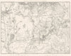

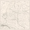


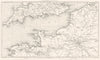

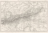




Napoleonic battlefields and the departments of France meet in these antique maps by Auguste Henri Dufour, the French cartographer who died in 1865, with material dating from 1836 to 1859. His campaign maps for Thiers's history of the Consulate and Empire reconstruct the ground at Zaragoza, Talavera, Eylau and Friedland, with towns, rivers and routes. For the Atlas de la France Illustrée he mapped the departments and their principal towns, with insets, and his work reaches beyond France to overseas possessions and wider Europe.
EU orders up to €150 are sent VAT- and duty-paid — no additional taxes on arrival
Authenticity Guaranteed - We only sell original antique & vintage items
Can we help? Call us on +44-208-960-3476 • FAQs
All our products are exempt from US tariffs — no additional duties or taxes payable on arrival.


- Shop by Country
- Shop by Cartographer
- Shop Maps by Type
- Shop Prints by Subject