


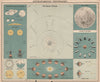

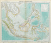

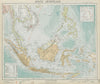


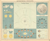


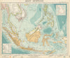




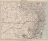


Lighthouses, transport routes and the stars of the southern sky show the breadth of Letts's Popular Atlas, published by Letts, Son and Company in the later nineteenth century. The maps here date from 1883–1892 and cover England and Wales, the Northumberland and Yorkshire coast, the Lake District and Isle of Man, north Wales and a political map of Europe, while a celestial chart takes the atlas beyond terrestrial geography. Navigation aids and communications add practical information to the regional maps, and the dates fix the political boundaries and transport network of each issue.
EU orders up to €150 are sent VAT- and duty-paid — no additional taxes on arrival
Authenticity Guaranteed - We only sell original antique & vintage items
Can we help? Call us on +44-208-960-3476 • FAQs
All our products are exempt from US tariffs — no additional duties or taxes payable on arrival.


- Shop by Country
- Shop by Cartographer
- Shop Maps by Type
- Shop Prints by Subject