
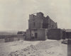


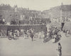


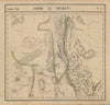


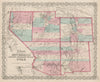


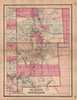


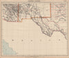

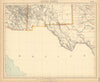


Pecos ruins, Pueblo settlements and the march of the Army of the West give these prints of New Mexico the excitement of an expedition. Emory's illustrated report records places along the Rio Grande and through the Mimbres and Gila country, with scenes of travel, architectural remains and portraits. The maps set those landscapes within changing territorial outlines, often far beyond the modern state, with Mitchell, Lowry and Ettling showing the neighbouring western territories and later county maps and Royce's land-cession maps recording administrative and Indigenous geographies. Around Santa Fe, Pecos and the southern river valleys, the broad territorial sheets and the closely observed expedition views can be read side by side.
EU orders up to €150 are sent VAT- and duty-paid — no additional taxes on arrival
Authenticity Guaranteed - We only sell original antique & vintage items
Can we help? Call us on +44-208-960-3476 • FAQs
All our products are exempt from US tariffs — no additional duties or taxes payable on arrival.


- Shop by Country
- Shop by Cartographer
- Shop Maps by Type
- Shop Prints by Subject