
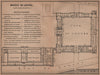


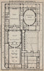

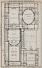


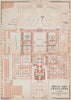


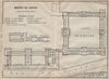


Métro routes, omnibus lines and floor plans of the Invalides fill these maps from Paris & environs, Karl Baedeker's guide to the capital and its excursions, with issues from 1900 to 1910 and the fourteenth edition identified. District sheets divide the city into manageable sections, transport maps follow the omnibuses, trams, boats and the new underground railway, and plans of the Bibliothèque Nationale and other institutions guide visitors indoors. The environs reach Saint-Germain-en-Laye, Fontainebleau and Vincennes, and plans of Amiens and other places belong to the routes from London.
EU orders up to €150 are sent VAT- and duty-paid — no additional taxes on arrival
Authenticity Guaranteed - We only sell original antique & vintage items
Can we help? Call us on +44-208-960-3476 • FAQs
All our products are exempt from US tariffs — no additional duties or taxes payable on arrival.


- Shop by Country
- Shop by Cartographer
- Shop Maps by Type
- Shop Prints by Subject