
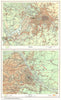

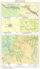

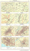

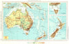

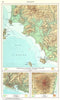

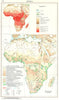

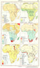

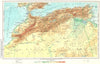

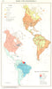

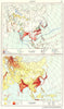

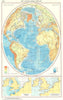

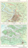

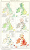

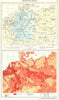

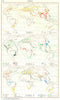

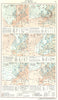

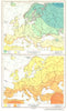

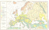

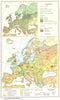

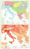


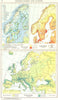


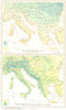

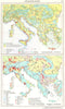

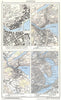

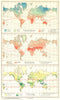

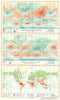

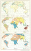

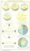


Swiss school geography links local landforms with the world's climates and economies in the Schweizerischer Mittelschulatlas. These maps come from the 1958 edition, prepared under Eduard Imhof and his collaborators for the conference of cantonal education directors. The atlas opens with Swiss settlement forms, city plans and topographical examples before applying the same method to Europe and the other continents, mapping climate, vegetation, population, agriculture and industry beside physical and political geography. Studies of ports and estuaries such as Hamburg, Antwerp and the Seine show human activity shaped by the coast, and comparative insets sometimes set a distant city or region beside a Swiss reference area.
EU orders up to €150 are sent VAT- and duty-paid — no additional taxes on arrival
Authenticity Guaranteed - We only sell original antique & vintage items
Can we help? Call us on +44-208-960-3476 • FAQs
All our products are exempt from US tariffs — no additional duties or taxes payable on arrival.


- Shop by Country
- Shop by Cartographer
- Shop Maps by Type
- Shop Prints by Subject