


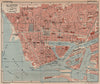


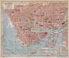


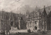

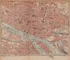


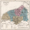


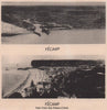

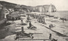


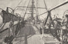


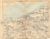


Rouen's cathedral, the quays of Le Havre and Dieppe's harbour make these antique maps and prints of Seine-Maritime a portrait of Normandy's ports and the lower Seine. Charts by Faden and the Admiralty cover Le Havre, Dieppe and neighbouring waters, and town plans and regional sheets follow the river valley; older material often uses the department's former name, Seine-Inférieure. Among the prints are Rouen's bridges and the ruins at Jumièges, while illustrated news scenes record passport checks, maritime exhibitions and the demolition of Le Havre's Francis I tower.
EU orders up to €150 are sent VAT- and duty-paid — no additional taxes on arrival
Authenticity Guaranteed - We only sell original antique & vintage items
Can we help? Call us on +44-208-960-3476 • FAQs
All our products are exempt from US tariffs — no additional duties or taxes payable on arrival.


- Shop by Country
- Shop by Cartographer
- Shop Maps by Type
- Shop Prints by Subject