


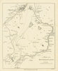

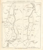


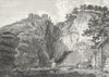


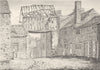

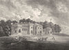


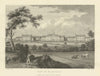

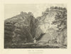


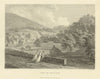


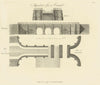

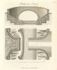


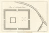


Canals, manufacturing towns and country houses fill the plates of John Aikin's survey of a region in the throes of industrial change, A Description of the Country from Thirty to Forty Miles Round Manchester, published by John Stockdale in 1795. Its accounts of geography, commerce and local history came with maps and engraved views, and the prints show Ashton-under-Lyne, Liverpool, the Moravian settlement at Fairfield, Cheshire halls and Derbyshire scenery. The maps follow the Bridgewater, Rochdale, Lancaster and Huddersfield canals as they linked Manchester's hinterland with the ports and crossed the Pennines. Barton Aqueduct and other canal engineering appear beside the Roman remains at Melandra and old manorial buildings.
EU orders up to €150 are sent VAT- and duty-paid — no additional taxes on arrival
Authenticity Guaranteed - We only sell original antique & vintage items
Can we help? Call us on +44-208-960-3476 • FAQs
All our products are exempt from US tariffs — no additional duties or taxes payable on arrival.


- Shop by Country
- Shop by Cartographer
- Shop Maps by Type
- Shop Prints by Subject