
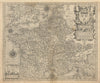


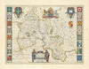

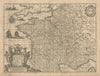

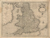

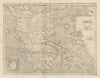

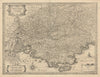

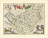

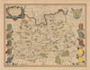

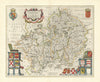

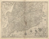

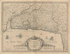

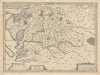

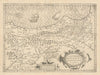


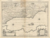

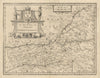

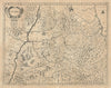

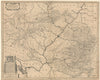

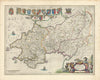

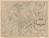

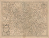





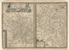

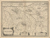

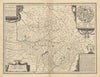

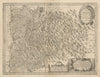

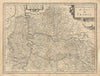

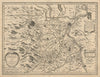

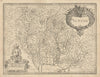

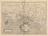
This collection celebrates the Golden Age of Netherlandish mapmaking, when the Low Countries stood at the forefront of European cartography. Master cartographers such as Abraham Ortelius, Gerard Mercator, Jodocus and Henricus Hondius, Willem and Joan Blaeu, and Jan Janssonius produced some of the most beautiful and influential maps of the 16th and 17th centuries. Published predominantly in Amsterdam and Antwerp (then in the Spanish Netherlands), these works combined the latest geographical knowledge with exquisite artistry. Characterised by decorative borders, ornate cartouches, allegorical figures, and often vibrant hand-colouring, they embody the distinctive style of the Dutch and Flemish—together forming the Netherlandish—schools of cartography, and remain among the most sought-after achievements of early modern mapmaking.
EU orders up to €150 are sent VAT- and duty-paid — no additional taxes on arrival
Authenticity Guaranteed - We only sell original antique & vintage items
Can we help? Call us on +44-208-960-3476 • FAQs
All our products are exempt from US tariffs — no additional duties or taxes payable on arrival.


- Shop by Country
- Shop by Cartographer
- Shop Maps by Type
- Shop Prints by Subject