The Survey Atlas of England & Wales
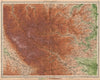
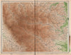
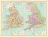
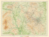
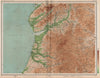
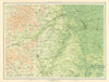
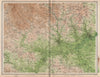
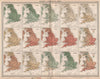
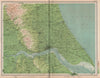
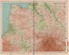
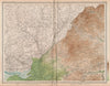
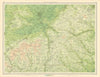
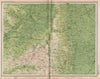
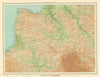
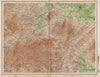
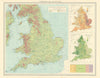
The Survey Atlas of England & Wales, designed and edited by J. G. Bartholomew and published by the Edinburgh Geographical Institute under the patronage of the Royal Geographical Society, was first issued in 1903 as a landmark work of British thematic cartography. Comprising 84 plates, the atlas presented detailed maps and explanatory text covering the topography, geology, climate, political divisions, and commercial features of England and Wales. It was celebrated for its high production quality, precision, and the integration of scientific and geographical knowledge. A second edition appeared in 1911, reflecting updated political boundaries and infrastructural developments. The atlas was again revised in 1939, incorporating modern data and reflecting changes in settlement, industry, and administration on the eve of the Second World War. Across all editions, the Survey Atlas exemplifies Bartholomew's commitment to authoritative, beautifully produced reference works, and remains an important historical source for understanding Britain’s early 20th-century landscape.