


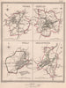


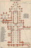


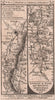

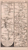

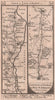


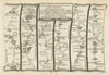



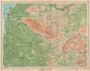


Wells is a compact cathedral city below the Mendip Hills, and its great church has drawn engravers to every corner of it, from the west front to the entrance of the crypt. Views of the 1830s and 1840s take in the nave, transepts, north porch, chapter house and Lady Chapel, and floor plans by Baedeker and others follow into the twentieth century. Ernest Haslehust's views of 1920 show the Penniless Gate, the Bishop's Eye, the palace gatehouse and drawbridge and the market place, and there are prints of Vicars' Close. The maps begin with Ogilby's road strips of 1675 from Bristol through the city to Exeter and Weymouth, followed by Gardner, Senex, Owen and Bowen, Kitchin, Bowles and Paterson. Dawson's borough plans of 1832 and 1837 and a Boundary Commission sheet of 1868 show the city itself, while regional maps set it between the Mendips and the Somerset Levels.
EU orders up to €150 are sent VAT- and duty-paid — no additional taxes on arrival
Authenticity Guaranteed - We only sell original antique & vintage items
Can we help? Call us on +44-208-960-3476 • FAQs
All our products are exempt from US tariffs — no additional duties or taxes payable on arrival.


- Shop by Country
- Shop by Cartographer
- Shop Maps by Type
- Shop Prints by Subject