
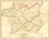

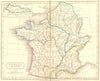

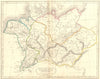

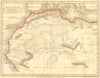

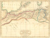

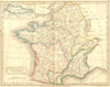

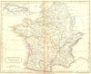
Germania, ancient Gaul, Mauretania and Numidia are mapped for readers of the classics in Samuel Butler's atlas of the ancient world, published by Longman & Co. in 1826 and 1830, with Hall associated with the engraved cartography. The European sheets cover Germania and Gaul, and the African sheets identify territories such as Mauretania and Numidia, so that names met in ancient texts can be placed on the ground. These early editions are distinct from the later Butler atlas catalogued under the spelling Antient.
EU orders up to €150 are sent VAT- and duty-paid — no additional taxes on arrival
Authenticity Guaranteed - We only sell original antique & vintage items
Can we help? Call us on +44-208-960-3476 • FAQs
All our products are exempt from US tariffs — no additional duties or taxes payable on arrival.


- Shop by Country
- Shop by Cartographer
- Shop Maps by Type
- Shop Prints by Subject