






!['The Tower [of London] & St Catherin's'. St Katherine's STOW/STRYPE 1720 map](http://www.antiquemapsandprints.com/cdn/shop/files/P-7-012415a.jpg?v=1748731957&width=3000)
!['The Tower [of London] & St Catherin's'. St Katherine's STOW/STRYPE 1720 map](http://www.antiquemapsandprints.com/cdn/shop/files/P-7-012415a_100x100.jpg?v=1748731957)


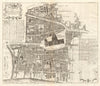


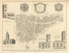

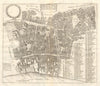


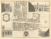

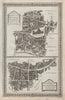

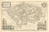

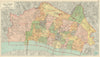

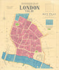

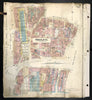


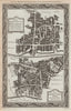

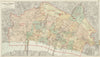


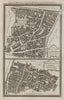

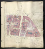

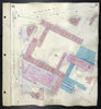
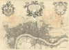
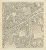
Explore antique maps and prints of the City of London, the historic Square Mile at the heart of the capital. The collection brings together general plans, detailed ward maps, architectural engravings and riverside views, tracing streets, churches and civic landmarks across centuries. Highlights include John Leake’s survey of the Great Fire, plans from Stow and Strype’s surveys, Horwood’s detailed mapping, and later work by Bacon and Charles Goad. Views of Guildhall, the Royal Exchange, Mansion House and the City churches complement maps recording commercial expansion, railway development and post-war reconstruction. From St Paul’s and Cheapside to Bishopsgate and the Thames, these works illuminate both familiar landmarks and a vanished City of courts, markets, livery halls and narrow lanes. They reward close study by London collectors.
EU orders up to €150 are sent VAT- and duty-paid — no additional taxes on arrival
Authenticity Guaranteed - We only sell original antique & vintage items
Can we help? Call us on +44-208-960-3476 • FAQs
All our products are exempt from US tariffs — no additional duties or taxes payable on arrival.


- Shop by Country
- Shop by Cartographer
- Shop Maps by Type
- Shop Prints by Subject