


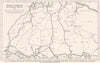

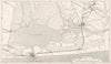

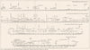

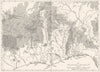

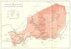

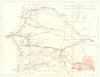


Rainfall, winds, geology and the routes across the Sahara are mapped in these plates from a wartime intelligence handbook, prepared for operations in tropical and desert country. Issued by Britain's Naval Intelligence Division in 1943–44, they include diagrams and cross-sections of the Niger and Guinea coastal basins and a section from Conakry to In Guezzam. Territorial sheets use the period names French Sudan, Dahomey and Ivory Coast beside Senegal, Mauritania, Guinea, Niger and Togo, with separate maps of the Dakar district and the ports of Cotonou and Porto Novo. A trans-Saharan diagram separates motorable routes from a projected railway.
EU orders up to €150 are sent VAT- and duty-paid — no additional taxes on arrival
Authenticity Guaranteed - We only sell original antique & vintage items
Can we help? Call us on +44-208-960-3476 • FAQs
All our products are exempt from US tariffs — no additional duties or taxes payable on arrival.


- Shop by Country
- Shop by Cartographer
- Shop Maps by Type
- Shop Prints by Subject