
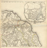

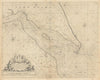

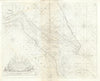

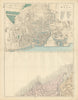

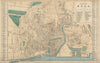

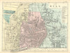

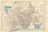

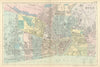

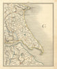


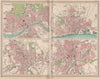





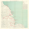

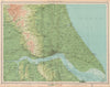

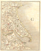

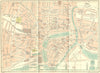

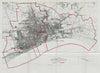


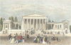


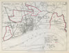

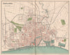

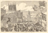

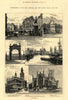


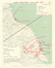

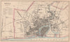

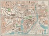

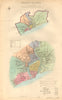

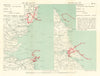


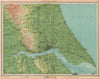

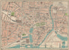
Maps and prints of Kingston upon Hull range from early Humber estuary charts by Greenvile Collins and regional sheets by Jefferys to town plans by Dawson, Bacon, Bartholomew, Baedeker and Geographia. Views record the docks, market place, Holy Trinity, public buildings, Queen Victoria’s visit and the opening of Albert Dock, alongside Holderness surveys, parliamentary boundaries and First World War airship-raid maps.
EU orders up to €150 are sent VAT- and duty-paid — no additional taxes on arrival
Authenticity Guaranteed - We only sell original antique & vintage items
Can we help? Call us on +44-208-960-3476 • FAQs
All our products are exempt from US tariffs — no additional duties or taxes payable on arrival.


- Shop by Country
- Shop by Cartographer
- Shop Maps by Type
- Shop Prints by Subject