
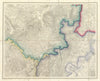

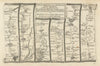


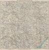

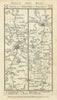

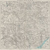

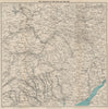

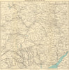


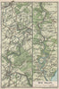


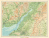

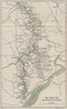

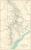

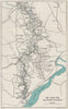


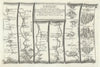
Maps and prints of Monmouth centre on Robert Dawson’s 1832 and 1837 borough plans and Henry James’s 1868 boundary surveys, alongside views of Monnow Bridge, the town and Dixton Church, the Hendre and the Working Men’s Institute. Road strips by Ogilby, Kitchin, Gardner, Bowles, Paterson and Owen and Bowen trace routes through the town, complemented by Ordnance Survey and Wye Valley sheets.
EU orders up to €150 are sent VAT- and duty-paid — no additional taxes on arrival
Authenticity Guaranteed - We only sell original antique & vintage items
Can we help? Call us on +44-208-960-3476 • FAQs
All our products are exempt from US tariffs — no additional duties or taxes payable on arrival.


- Shop by Country
- Shop by Cartographer
- Shop Maps by Type
- Shop Prints by Subject