


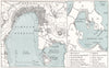

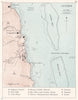

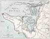

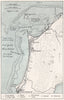

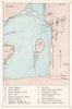

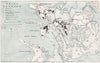

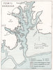

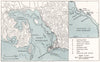

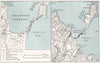

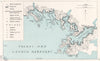

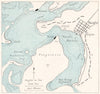

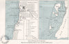

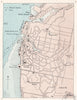

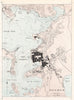

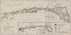

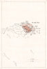

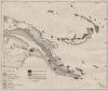

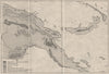

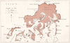


Compiled in 1944 by the Naval Intelligence Division, the maps from the Western Pacific volume of Pacific Islands chart island coasts and terrain for a wartime purpose, where beaches, relief and rock could decide movement and access. The sheets range across Fiji, Micronesia, New Caledonia and New Guinea, with coastal mapping around Viti Levu and the Comboui–Nouméa area alongside physical and geological studies of Babelthuap and parts of New Guinea. They belong to the division's Geographical Handbook Series, which gathered knowledge of areas of military and strategic concern, so this is intelligence mapping rather than a civilian atlas.
EU orders up to €150 are sent VAT- and duty-paid — no additional taxes on arrival
Authenticity Guaranteed - We only sell original antique & vintage items
Can we help? Call us on +44-208-960-3476 • FAQs
All our products are exempt from US tariffs — no additional duties or taxes payable on arrival.


- Shop by Country
- Shop by Cartographer
- Shop Maps by Type
- Shop Prints by Subject