
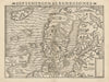

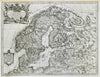

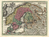

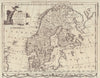

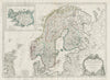


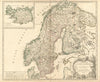

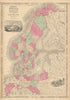


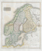








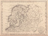

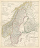

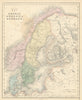


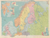


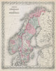


Medieval kingdoms and nineteenth-century railways sit side by side in these antique maps of Scandinavia, which follow Sweden, Norway and Denmark through changing unions and frontiers. Atlas publishers such as Johnston and Bartholomew recorded administrative divisions, railways, canals and relief, setting the mountainous Norwegian coast against the districts of Sweden and Denmark, while broader regional sheets take in Finland and the Baltic approaches. Plans of Copenhagen, Stockholm and Christiania, now Oslo, bring the capitals into closer view, and prints add town views and regional subjects.
EU orders up to €150 are sent VAT- and duty-paid — no additional taxes on arrival
Authenticity Guaranteed - We only sell original antique & vintage items
Can we help? Call us on +44-208-960-3476 • FAQs
All our products are exempt from US tariffs — no additional duties or taxes payable on arrival.


- Shop by Country
- Shop by Cartographer
- Shop Maps by Type
- Shop Prints by Subject