Hide out of stock items

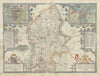


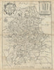

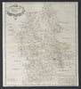


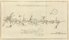

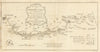


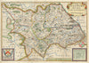


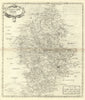

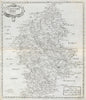

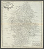


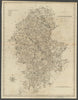

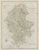


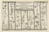

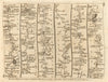


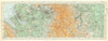

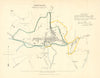


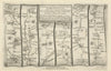


Antique maps & old prints of Staffordshire. County maps by Bacon, Philip, Cary, Morden & Moule. Antique views & town plans of Stafford, Stoke-on-Trent & Wolverhampton by Dawson (1832) and Creighton/Walker from Lewis's "Topographical Dictionary"(1835). Steel engravings from Calvert's "Picturesque views in Staffordshire & Shropshire" (1830), old prints from "Recording Britain" (1946-1949), 19th century engravings from the "Illustrated London News", Copperplate views from Grose's "Antiquities of England" (1776), and road strip maps by Owen/Bowen from "Britannia Depicta"(1753).