
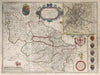


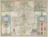

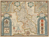

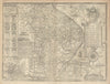

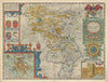

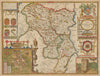

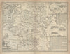

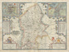

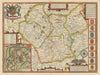

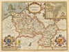

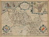

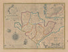

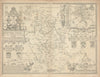

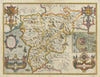

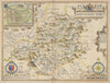

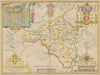


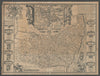


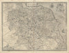


John Speed’s county maps set the towns, heraldry and history of early Stuart Britain around their geographical outlines, and their town-plan insets and decoration make them instantly recognisable. They come from his Theatre of the Empire of Great Britaine, first published in 1611–12, and from the later editions that kept the plates in use. Imprints of Sudbury and Humble, Bassett and Chiswell, and Overton mark successive stages in that history, so a single county can be followed from edition to edition. The counties here include Yorkshire, Middlesex, Warwickshire and Lincolnshire, with Denbighshire and Anglesey from Wales.
EU orders up to €150 are sent VAT- and duty-paid — no additional taxes on arrival
Authenticity Guaranteed - We only sell original antique & vintage items
Can we help? Call us on +44-208-960-3476 • FAQs
All our products are exempt from US tariffs — no additional duties or taxes payable on arrival.


- Shop by Country
- Shop by Cartographer
- Shop Maps by Type
- Shop Prints by Subject