


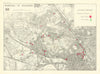

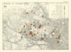

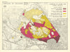

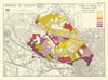

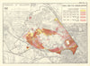

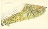

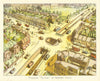

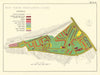

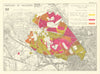

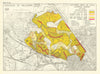

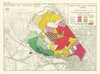


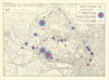


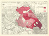

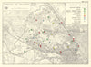

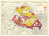

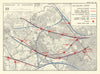


A post-war borough is measured, questioned and redesigned in these maps from The Willesden Survey 1949. Prepared by the borough engineer and surveyor John C. Morris and published by the Corporation of Willesden in 1950, the survey covers Kilburn, Kensal, Harlesden, Neasden and Cricklewood. Its thematic sheets examine housing condition, density, building age, schools, shopping catchments and community services, while traffic volumes, accidents and the railways chart everyday movement. Plans for South Kilburn and a projected flyover at Neasden Circus give form to the planners' ambitions. Reproduced historical maps, including the 1816 inclosure award, and a pictorial map complete the volume.
EU orders up to €150 are sent VAT- and duty-paid — no additional taxes on arrival
Authenticity Guaranteed - We only sell original antique & vintage items
Can we help? Call us on +44-208-960-3476 • FAQs
All our products are exempt from US tariffs — no additional duties or taxes payable on arrival.


- Shop by Country
- Shop by Cartographer
- Shop Maps by Type
- Shop Prints by Subject