
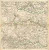





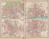


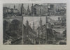

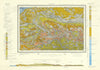

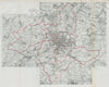

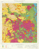


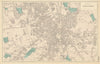

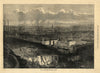

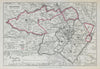

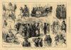

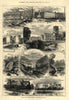

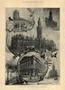

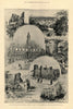

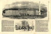

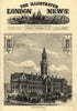



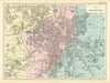

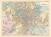

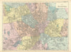

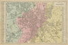

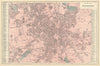


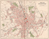


Maps and prints of Bradford include 19th-century borough plans by Dawson, Henry James and Bacon; Geographia neighbourhood sheets of Manningham, Horton, Bowling, Wibsey and Bradford Moor; and detailed Great Northern Railway plans. Architectural and urban views feature the Town Hall, Exchange, St George’s Hall, markets and mills, while Saltaire, Shipley, Heaton and the surrounding Airedale industrial landscape are also represented.
EU orders up to €150 are sent VAT- and duty-paid — no additional taxes on arrival
Authenticity Guaranteed - We only sell original antique & vintage items
Can we help? Call us on +44-208-960-3476 • FAQs
All our products are exempt from US tariffs — no additional duties or taxes payable on arrival.


- Shop by Country
- Shop by Cartographer
- Shop Maps by Type
- Shop Prints by Subject