
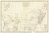


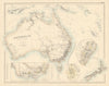

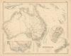

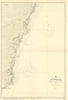

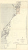


Goldfields, stock routes and explorers' paths into the interior make these antique maps of New South Wales a vivid record of a colony taking shape. Colonial and later state sheets mark railways, telegraph lines and water supplies, with later editions showing communications growing denser. Closer surveys cover districts such as Hunter and Camden, while charts follow the coast from Sydney towards Jervis Bay. Some sheets set the colony beside Victoria, Queensland or eastern Australia as a whole, and the prints add settler-era and Aboriginal subjects, including early nineteenth-century illustrations of local activities.
EU orders up to €150 are sent VAT- and duty-paid — no additional taxes on arrival
Authenticity Guaranteed - We only sell original antique & vintage items
Can we help? Call us on +44-208-960-3476 • FAQs
All our products are exempt from US tariffs — no additional duties or taxes payable on arrival.


- Shop by Country
- Shop by Cartographer
- Shop Maps by Type
- Shop Prints by Subject