
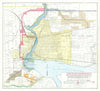

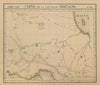


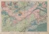

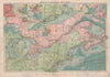


From the Great Lakes shores to the mining districts of the north, these antique maps follow Ontario through a period when its names and extent kept changing. Earlier sheets label the southern heartland Upper Canada or Canada West, while later ones show counties, railways and districts reaching towards James Bay, and boundary-dispute and railway material traces the opening of the northern lands. Geological maps examine Algoma, Sudbury and Timiskaming. Town plans and views cover Toronto, Ottawa, Hamilton and Kingston with their canals and river crossings, and some maps share the page with Quebec, Manitoba or the American shores of the Great Lakes. Among the prints are Bartlett's scenes along the St Lawrence, the Bay of Quinte and the Ottawa River, as well as Niagara Falls and Toronto's public buildings.
EU orders up to €150 are sent VAT- and duty-paid — no additional taxes on arrival
Authenticity Guaranteed - We only sell original antique & vintage items
Can we help? Call us on +44-208-960-3476 • FAQs
All our products are exempt from US tariffs — no additional duties or taxes payable on arrival.


- Shop by Country
- Shop by Cartographer
- Shop Maps by Type
- Shop Prints by Subject