


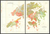


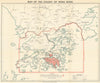

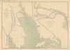

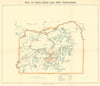


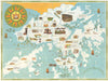


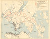


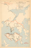



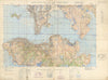


Antique and vintage maps, plans and views of Hong Kong cover Victoria, Kowloon, the New Territories and neighbouring islands. Dennys’s treaty-port maps, Carl Crow’s city plans, Sun Sun’s street guides and government surveys record streets, reclamation and changing shorelines. Admiralty charts, geological maps, pictorial tourist maps and views of the harbour and Happy Valley complement material documenting the territory during the Second World War.
EU orders up to €150 are sent VAT- and duty-paid — no additional taxes on arrival
Authenticity Guaranteed - We only sell original antique & vintage items
Can we help? Call us on +44-208-960-3476 • FAQs
All our products are exempt from US tariffs — no additional duties or taxes payable on arrival.


- Shop by Country
- Shop by Cartographer
- Shop Maps by Type
- Shop Prints by Subject