


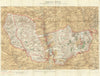

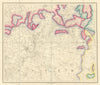


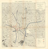


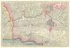


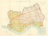


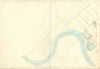


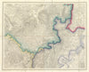


Ordnance Survey (OS) is the national mapping agency for Great Britain. Its name indicates its original military purpose, which was to map the Scottish Highlands in the wake of the Jacobite rising of 1745 in order to locate dissenters. Later the threat of invasion by Napoleonic France gave rise to a more nationwide need for maps. The Principal Triangulation of Great Britain was undertaken between 1783–1853 by the Board of Ordnance, which led to the creation of the Ordnance Survey itself. The first one-inch-to-the-mile map was published in 1801. Later, a demand for larger scale maps led to the six-inches-per-mile survey, started in the 1840s. Originally operating from the (literally) Drawing Room of the Tower of London, the Ordnance Survey moved to Southampton on 12 November 1841, a fortnight after a fire had destroyed its headquarters in the Tower. Notable 19th century Directors include William Mudge (1798-1820), Thomas Frederick Colby (1820-1847) and Sir Henry James (1854-1875). We include here maps by the Ordnance Survey of Ireland which succeeded the Irish operations of the British Ordnance Survey after independence in 1922; it was headquarted at Mountjoy House in the Phoenix Park in Dublin, which had been the headquarters of the British Ordnance Survey in Ireland
EU orders up to €150 are sent VAT- and duty-paid — no additional charges on arrival
Authenticity Guaranteed - We only sell original antique & vintage items
Can we help? Call us on +44-208-960-3476 • FAQs
All our products are exempt from US tariffs — no additional duties or taxes payable on arrival.
- Shop by Country
- Shop by Cartographer
- Shop Maps by Type
- Shop Prints by Subject